
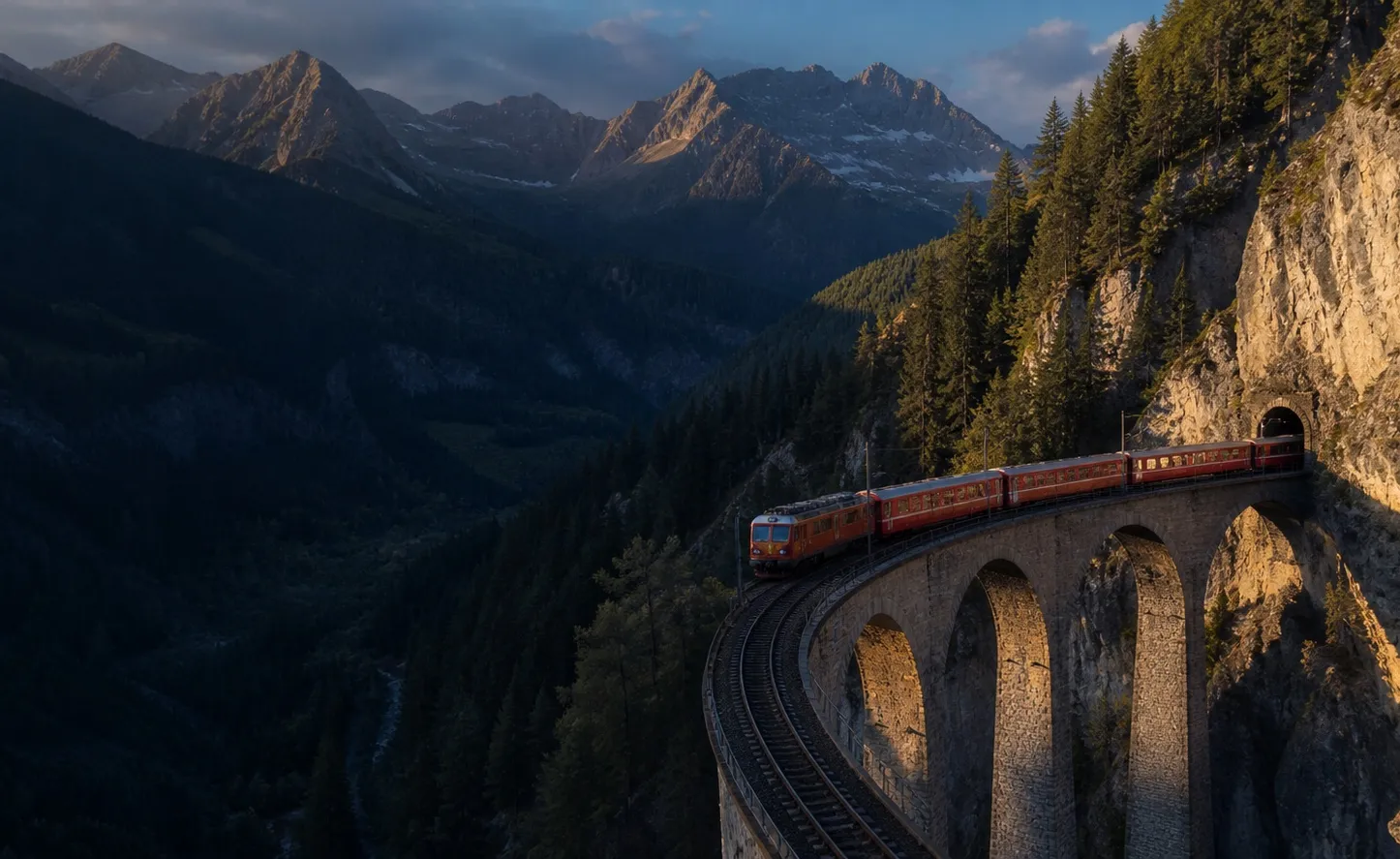
The Bernina Express
A narrow-gauge crossing of the Alps where spiral viaducts, street running and severe gradients are part of the view.
Specs overview
Technical blueprint
- Track gauge
- 1,000 mm
- Highest point
- 2,253 m
- UNESCO
- Listed route
- Traction
- Adhesion railway
01
What it is
A panoramic train journey over the metre-gauge Bernina line, climbing from the Engadin to the Bernina Pass before descending into northern Italy.
02
Why a Route Nerd would care
The railway gains altitude without a rack system. Tight curves, spiral viaducts and exposed high-alpine sections make the engineering legible from your seat rather than hiding it behind the scenery.
03
How to experience it
The branded panoramic service requires a reservation. Ordinary regional trains use the same line and can offer more flexibility, opening windows on some stock, and the option to stop along the route. Always check the operator's current timetable before travelling.
Follow the line
Route schematic
-
0 km
Chur
The wider network's principal northern gateway.
-
89 km
St Moritz
A common starting point for the panoramic service.
-
Highest point
Ospizio Bernina
The line reaches 2,253 metres above sea level.
-
144 km from St Moritz
Tirano
Arrival in Italy, with onward regional connections.
04
Worth the detour?
Yes. This is a railway worth planning around, not merely a convenient connection. Allow time for at least one intermediate stop if your ticket and timetable permit.
Combine it with
Keep following the route
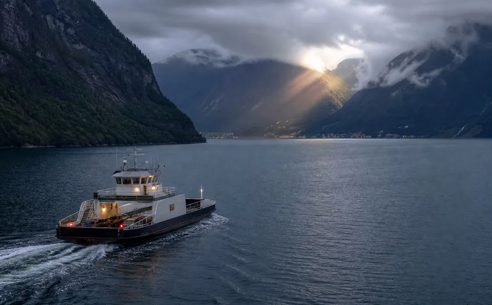
Crossing Geirangerfjord by ferry
Geiranger → Hellesylt, NorwayRoughly 1 hour
A practical fjord crossing that doubles as a moving grandstand for waterfalls, abandoned farms and glacial terrain.
Read the route
Porto's hillside funicular
Ribeira ↕ Batalha, PortoA few minutes
A short urban link where steep geometry, counterbalanced cars and a river-city panorama do more than save your legs.
Read the route